Meghalaya the first state in North East to set up own Unmanned Aerial Vehicles (UAV) & GIS Centre

Making a niche in technological advancement, Meghalaya has become the first state in North Eastern Region to set up its own Geographic Information System (GIS) and Unmanned Aerial Vehicles (UAV) centres
Until today, the state relied mostly on the North East Space Application Centre (NESAC) for geospatial data. However, given that NESAC’s area of operation extends to the entire Northeast, it is not always possible for it to cater to the state’s immediate and large needs.
Thus, the GIS and UAV Centre will enable the state to overcome these difficulties and use this technology to augment developmental planning across a range of sectors.
These services can be utilised by various departments to strengthen spatial awareness and enhance planning.
Several pilots have already been conducted in the state, demonstrating the wide range of capabilities this technology can bring. All Externally Aided Projects such as the IFAD aided LAMP, World Bank funded CLLMP and JICA supported Meg-LIFE all use GIS extensively in enabling holistic planning of project activities.
Maps such as Land Use Land Cover, natural resources boundary maps across more than 2360 villages, contour maps, drainage, hydrogeological data etc. provide valuable scientific inputs that enhances project outcomes when applied. Drone or Unmanned Aerial Vehicles (UAV) have been used to map more than 150 landscapes at high resolution providing micro level data which is otherwise not possible with conventional satellite mapping.
Recently, this application was leveraged by the state to quickly and accurately map disaster areas caused by the heavy torrential rains and flash floods in Garo hills, to document cultural landscapes of Living Root Bridges in the state’s bid for UNESCO World Heritage Site.
For the first time, UAVs were used to deliver medical aid to remote areas and to disperse seeds over difficult terrain at a very cost-effective rate.
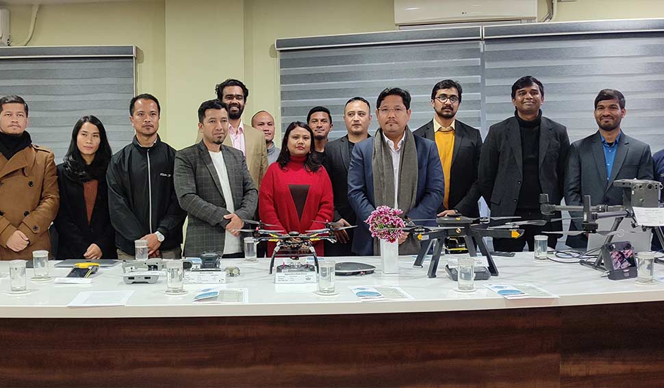
The GIS & UAV Centre housed under MBDA was launched by Chief Minister Conrad K Sangma at Main Secretariat on Thursday.


Leave a Reply